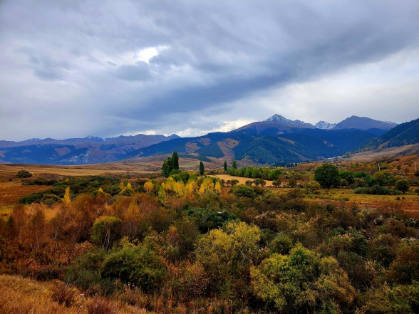
Chong Kemin Valley Hike
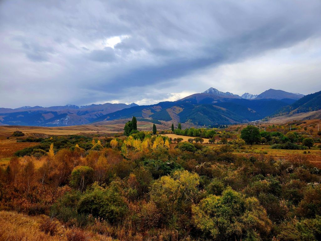
When many People think of hiking in Kyrgyzstan, they think of long distance, high altitude trekking. I know that is what came to mind for me. But there are lower altitude, gentler hikes in Kyrgyzstan.
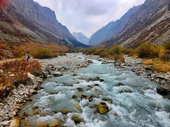
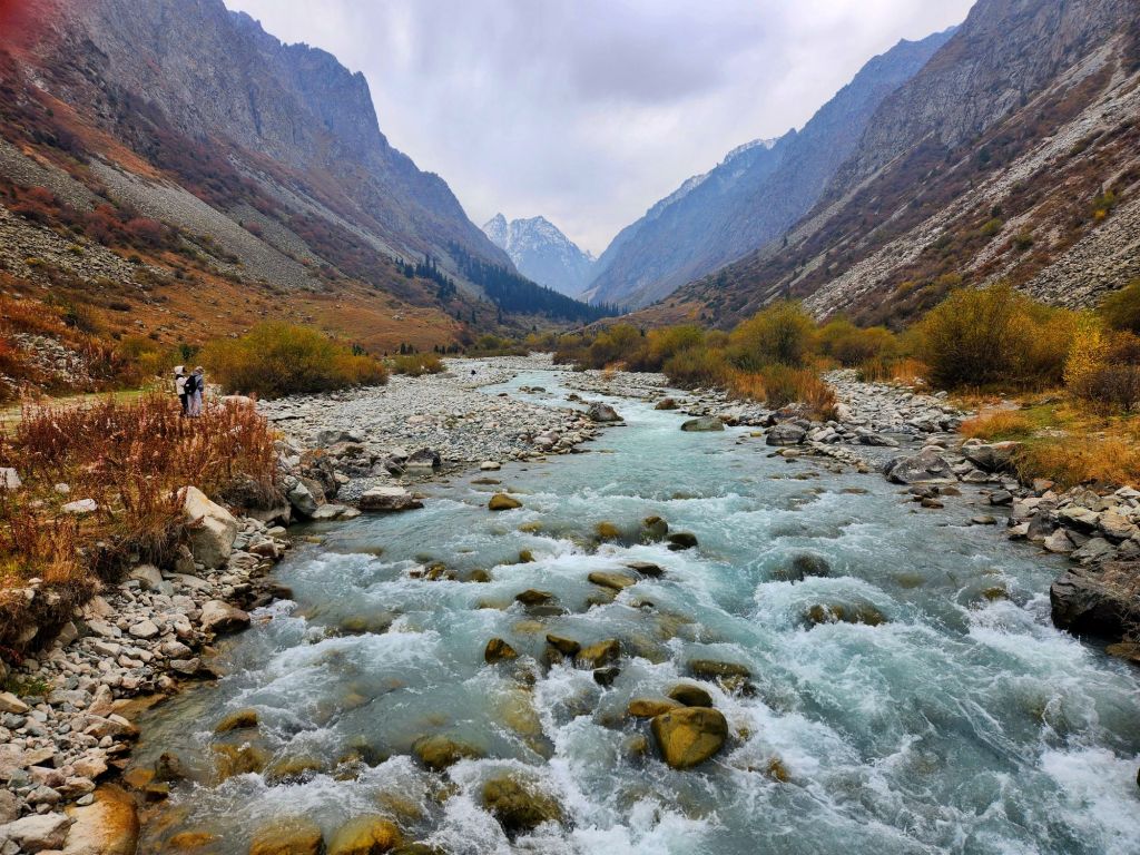
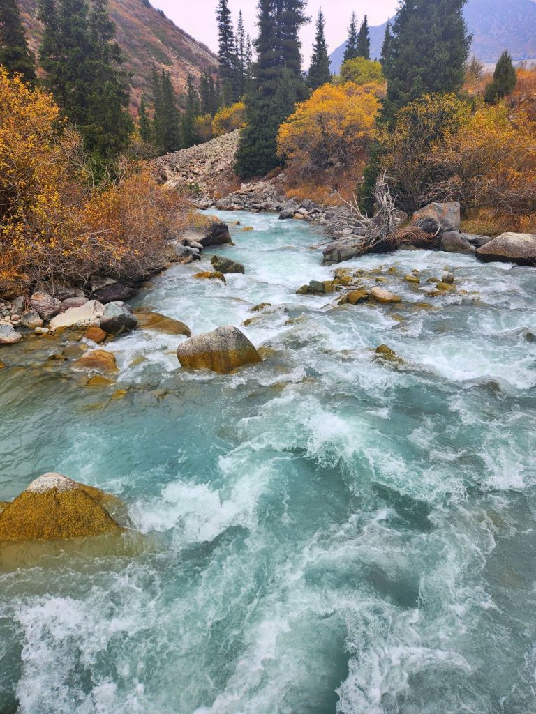
On my tour of The Stans (or at least four of them this trip), we had the opportunity to do a variety of hikes in different ecosystems, but they were all beautiful, particularly with the fall colors out.
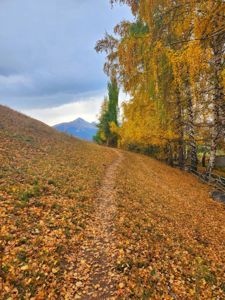
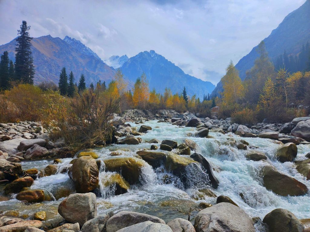
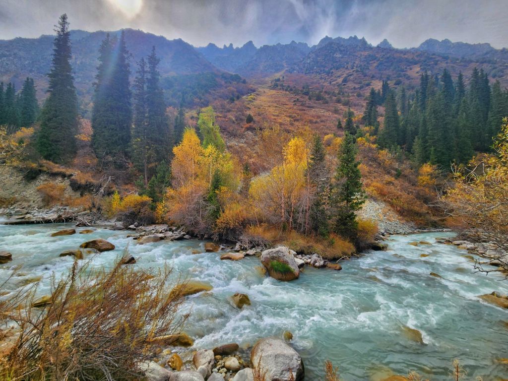
Our first group hike was on day two of our tour after we overnighted at a guesthouse in the Chong Kemin Valley. Our hike started early after breakfast when the air was brisk. It was perfect hiking weather, and the fall colors were out in force.
It was the majority of our group on this hike and it was a good opportunity to see everyone’s walking abilities. It became apparent to me that while I may not the absolute slowest walker on this tour, those who were the slower walkers were much older and probably not regular hikers. So by default, I was the slowest walker in the hiking group, by a fair amount.
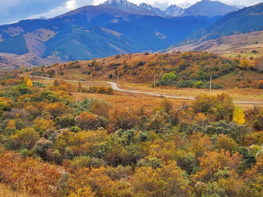
Our tour guide kept us together for the first part of the hike, as she was pointing out critical landmarks so we wouldn’t get lost on our way back, because we were allowed to go at our own pace, which I appreciated, because I wanted to enjoy the hike and not feel like I was on a military forced march.
But soon it became time to ascend to the top of antenna hill for our viewpoint. Our guide had made it seem super steep and difficult, to the point where I was wondering if I should try for the top or turn back at some point. I am rarely worried about getting up a trail; it’s the descent I always worry about, because I can be rather clumsy and don’t have the best balance at times.
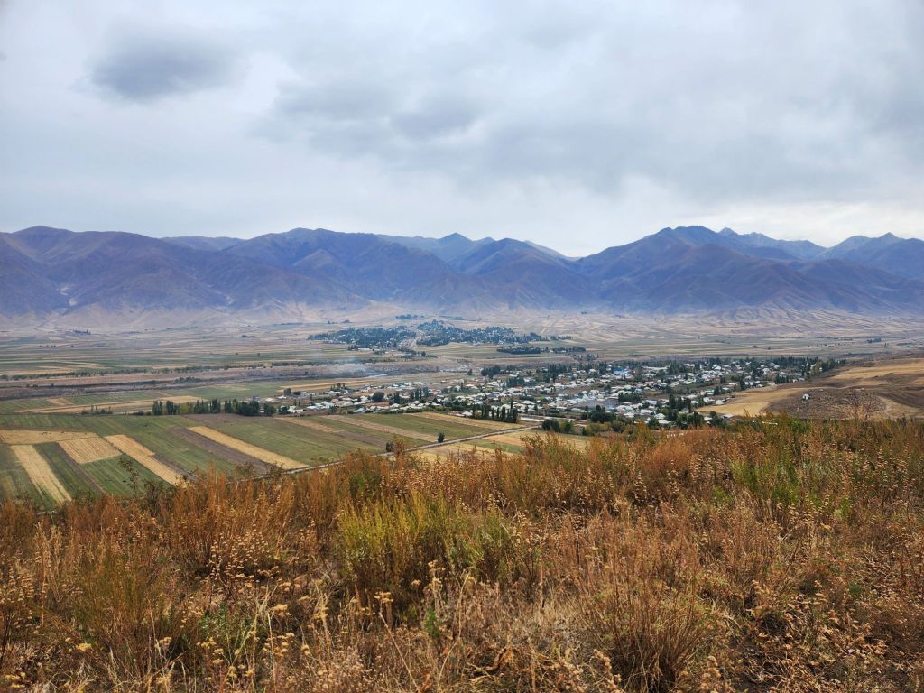
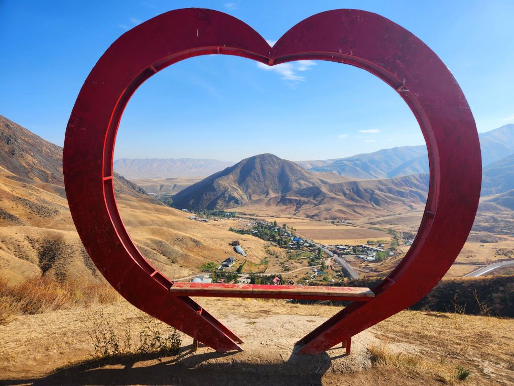
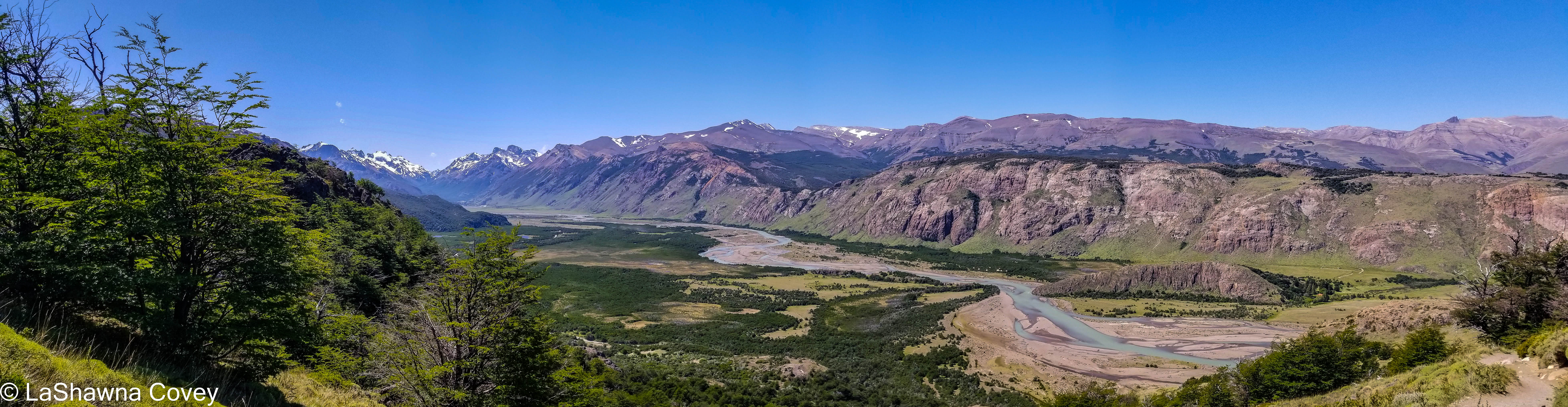
But I kept going, because the grade of the trail wasn’t super steep. In truth, it wasn’t anything I hadn’t done before. It was very rocky and narrow in parts, which made me wonder about the descent, but I just kept going up and up until I found myself at the top looking at a 360 degree view of the surrounding countryside. Part of the view was facing these gorgeous mountains and fall colors and the other part of the view was overlooking the village and the surrounding farmland.
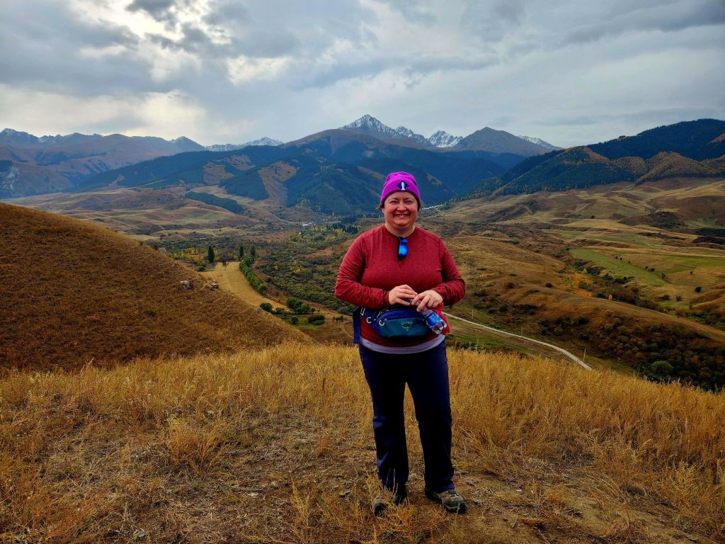
It was worth the relatively short trek up for the nice views. As per usual, I was the last one down, because I had to carefully watch my foot placement so I didn’t trip and fall or twist an ankle on day two as I am wont to do. It felt great to get the body moving and the legs warmed up with a nice morning hike.
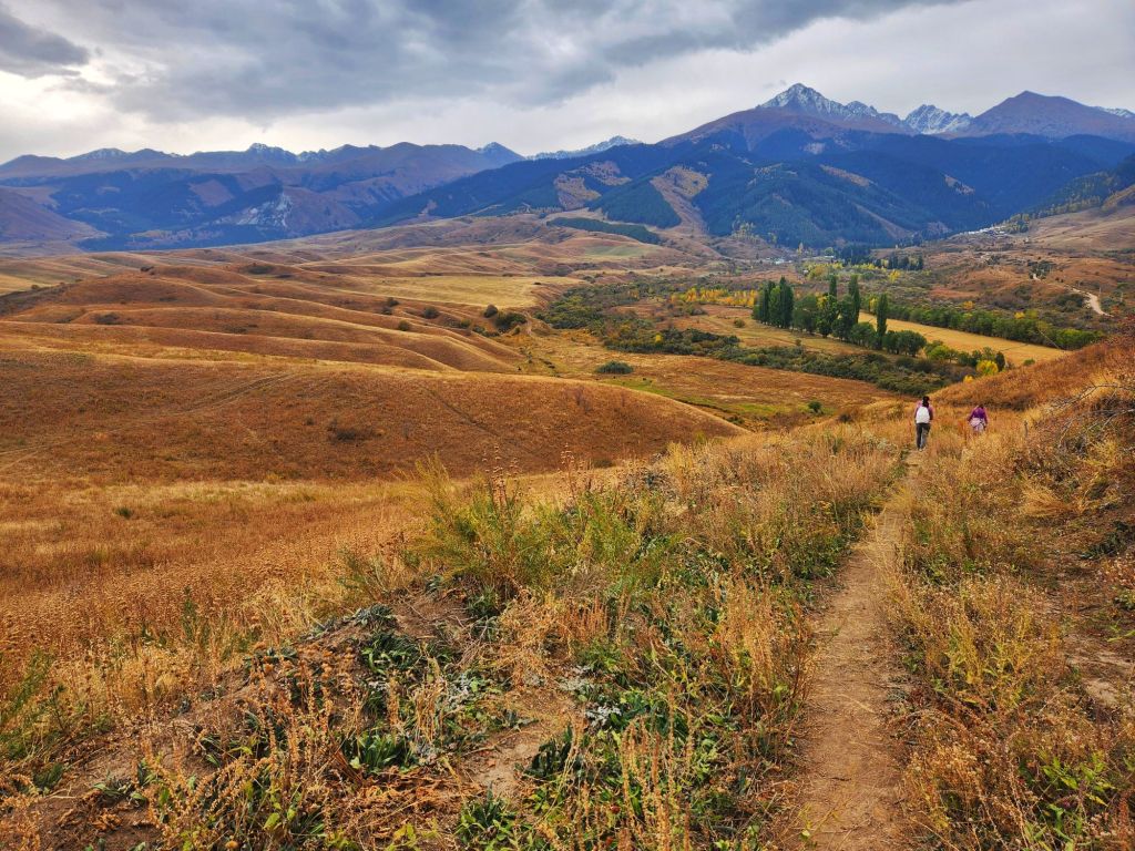
Shatyly Viewpoint Hike
This hike started our morning off right in Issyk Kul Lake region. Because it was so late in the season (my tour was the last one running for the year with this itinerary), Son Kul Lake was already shut down for snow (it’s much higher in the mountains), but our “consolation prize” was an overnight at a yurt on the shores of Issyk Kul Lake instead, which is this massive, beautiful blue lake surrounded by mountains.
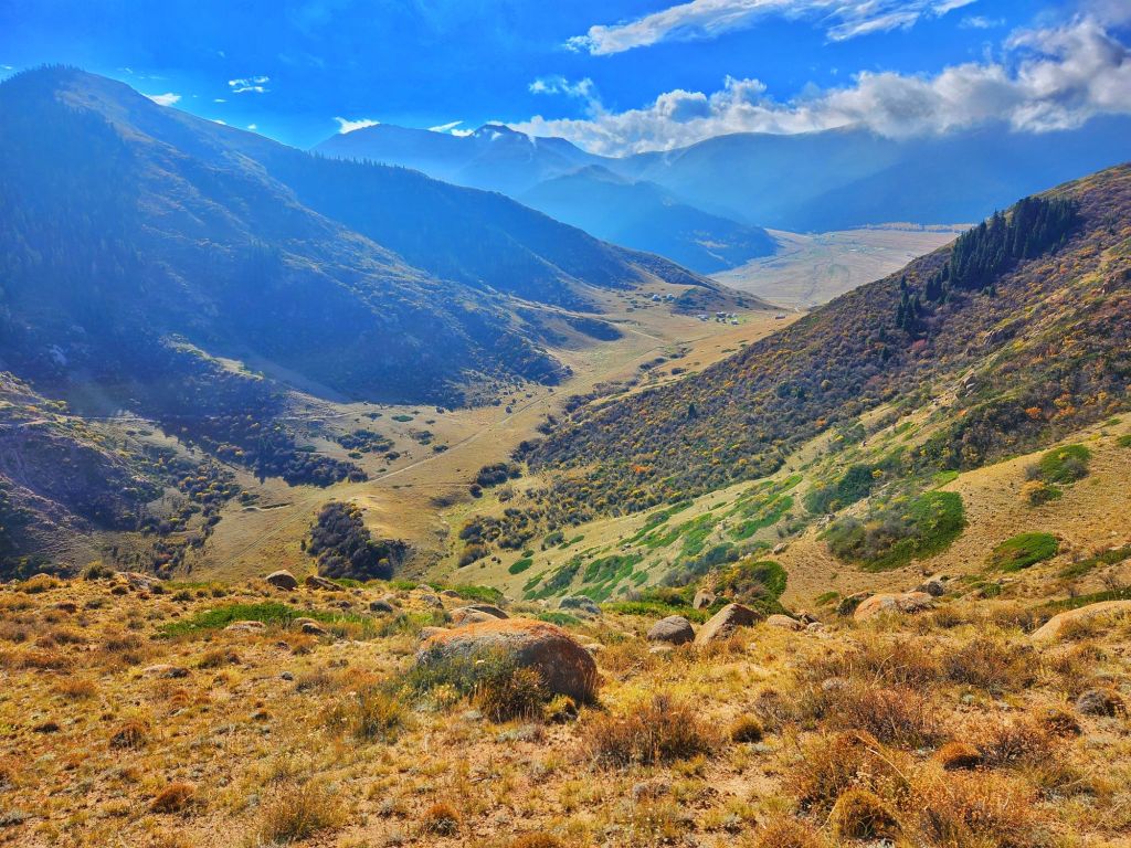
We started fairly early in the morning, and it was pleasantly chilly, but we started warming up quick with the hike. Our guide sold this hike as being about the same distance as the Chong Kemin hike the previous day, but a continuous uphill with some steep parts. Based on her description, I was unsure if I would feel comfortable coming down such a steep trail (I’m good going up). But I figured I would start the hike and I could always turn back if I wanted.
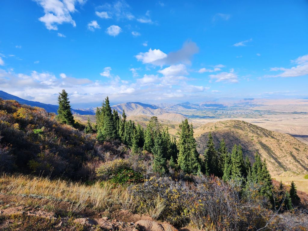
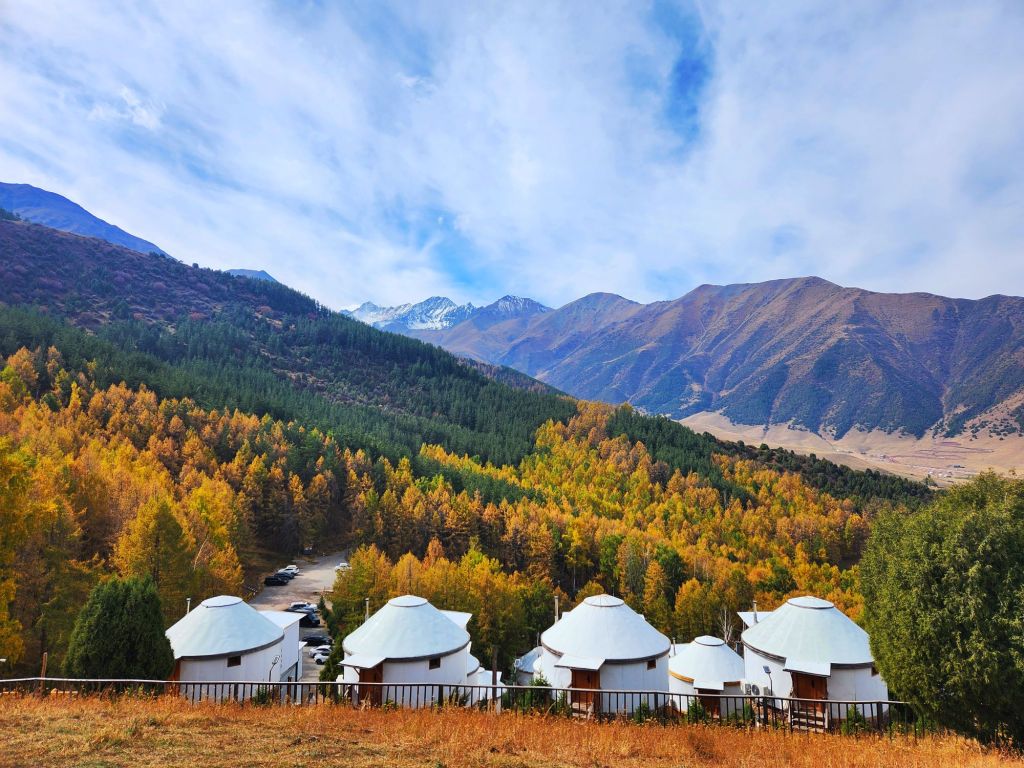
The first part of the trail is a fairly steep uphill road, but the trail was grippy and not slippery, so you just have to keep.going. Soon you reached a yurt camp with some nice views of the surrounding countryside, which made for a nice water and breath break. I evaluated that the trail was still doable for me so I kept going.
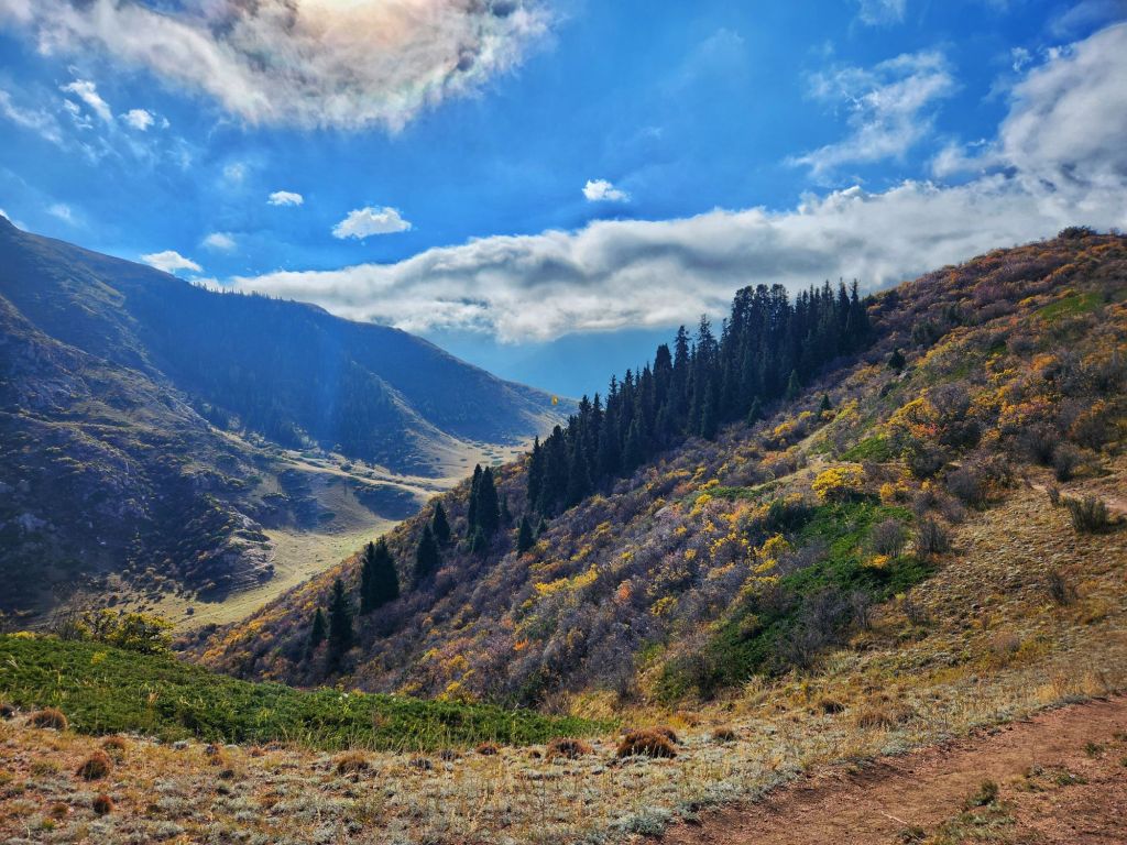
In truth, our guide made the trail out to be scarier than it actually was. I have certainly been on some fairly steep hills in the past, but the steepness in this trail was for only short bits and it was reasonably easy to navigate, even for my lack of sure-footedness. Plus the trail was a bit wider and less rocky than the hike the previous day.
Once I found myself at the viewpoint 2600 meters above sea level (a little over 8500 feet). I could feel the altitude on the hike up, but I usually huff and puff on steep uphill anyway, and it didn’t stop me from completing the hike.
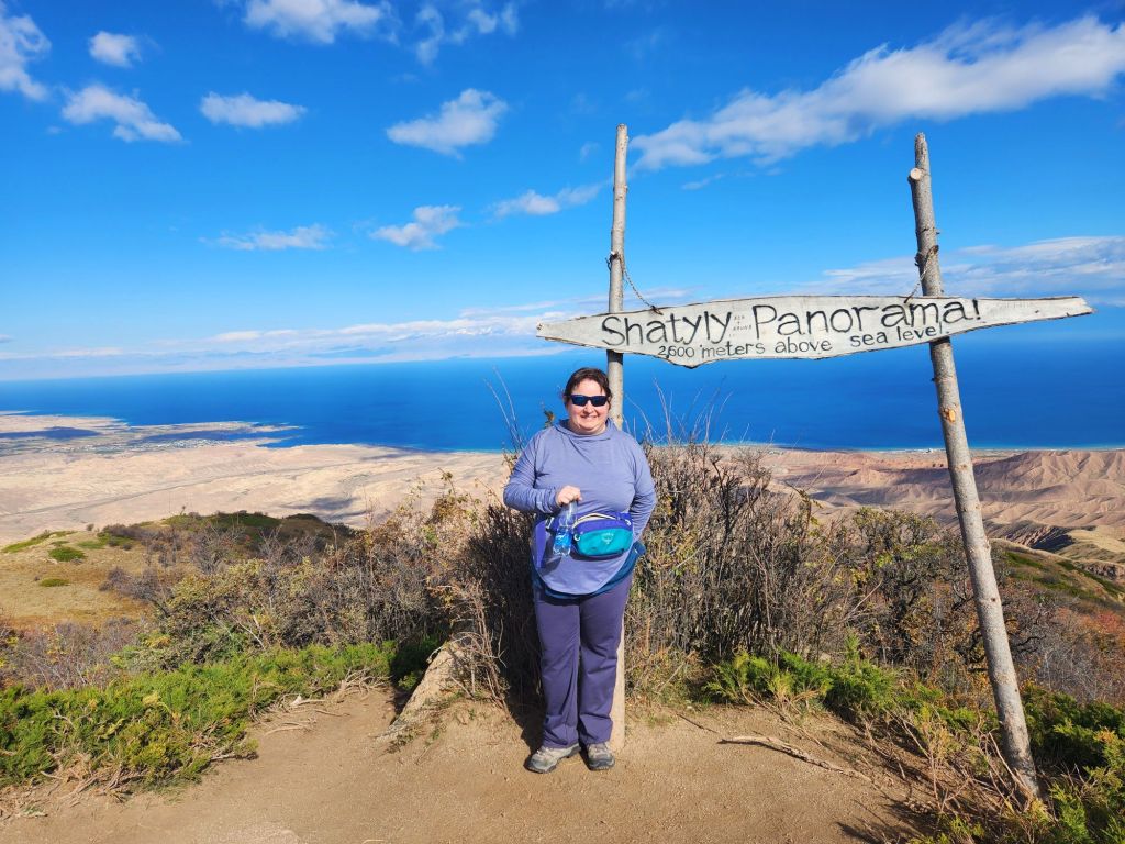
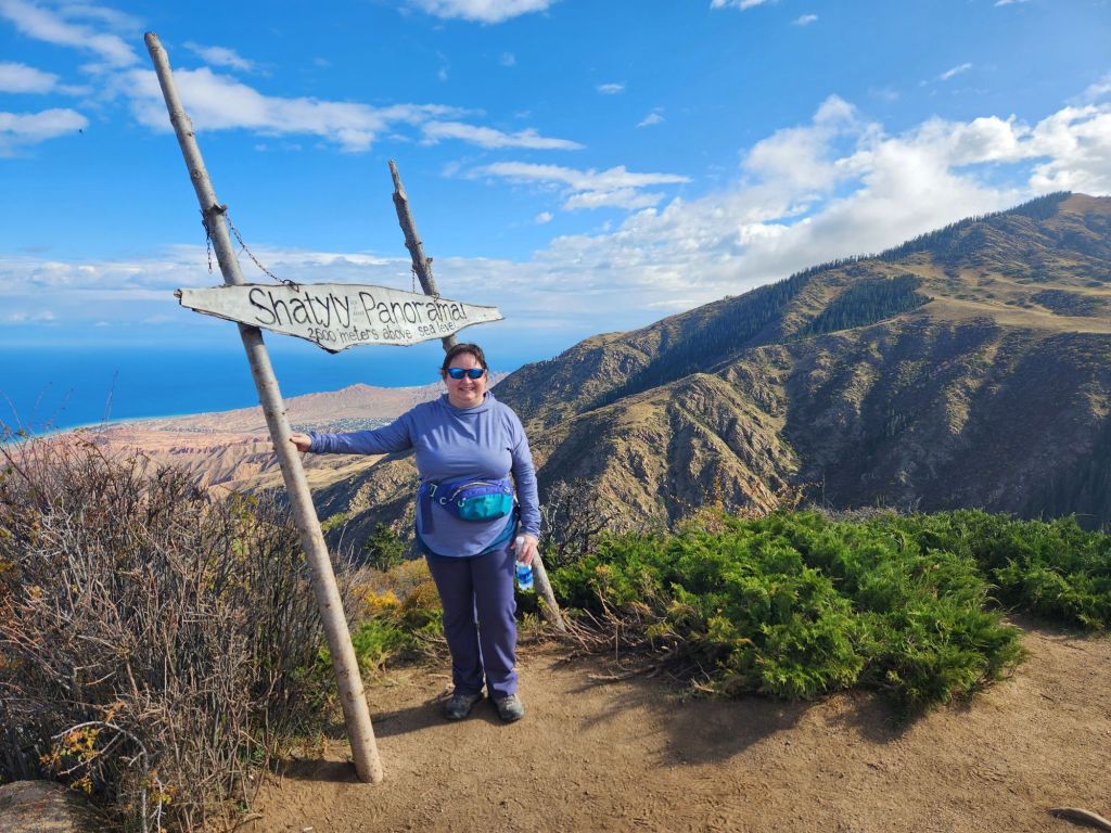
The view from the top was definitely worth it. We overlooked the expansive blue of Issyk Kul Lake and we had mountains brimming with fall colors trees behind us. The weather was perfect, which was a relief because clouds and rain were in the forecast. It was a great way to start the morning with some bracing exercise and beautiful mountain and lake views.